Himalayan glacier collapse kills hundreds
A mountainside collapse on the Tibet-Nepal border on August 26, 2026, triggered a nine-metre flood that killed hundreds and destroyed at least six dams.
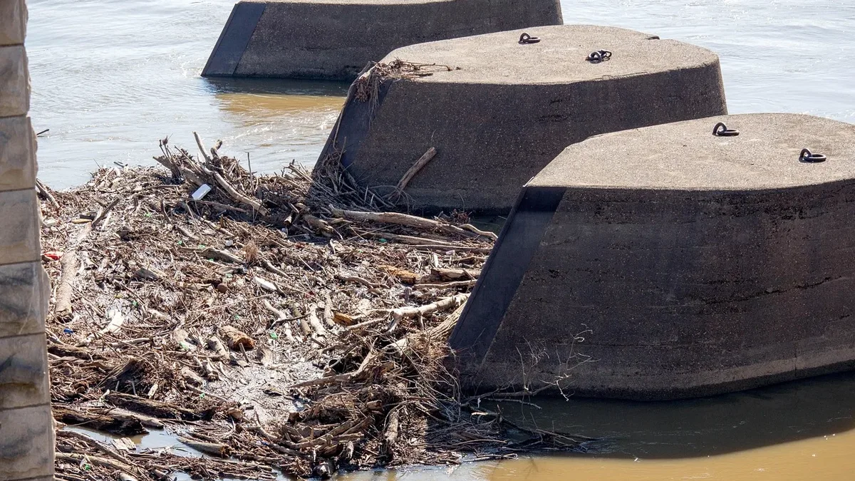
A mountainside of ice and rock collapsed into the Lhende Khola river on the Tibet-Nepal border on the morning of August 26, 2026. The event triggered a nine-metre flood that killed hundreds and swept away at least six dams and hydropower stations, over a dozen bridges, homes, roads, and a herd of elephants downstream into India.
There was no rain. The disaster was caused by excessive heat from climate change, which loosened ice from the 7,245-metre-high Langtang Lirung peak. The entire mountainside, including a glacier, fell into the river about 3,000 metres below. A resultant wall of water, boulders, and mud destroyed a large three-storeyed Chinese government border building at Jilong within a minute, leaving no time for an early warning.
A day later, debris was still blocking part of the river, with water accumulating behind it. Authorities warned this blockage could give way, causing a second flood.
Regional strategy needed
Glaciologists have long warned about glacier lake outburst floods (GLOFs) in a warming world. But the August disaster was a different type of hazard: a massive mountainside collapse. Mohammed Farooq Azam, a senior cryosphere specialist at the Kathmandu-based International Centre for Integrated Mountain Development (ICIMOD), stated the pace of climate change is so rapid that current efforts struggle to keep up. He said the disaster underscores the need for stronger regional collaboration and coordinated government action on cross-border hazards.
Months before the event, researchers from ICIMOD and other groups presented a regional cryosphere strategy for the eight Hindu Kush Himalayan (HKH) countries: Afghanistan, Bangladesh, Bhutan, China, India, Myanmar, Nepal, and Pakistan. The proposed strategy involves four key activities:
The strategy notes that a quality-assured cryosphere observation system can strengthen regional resilience and reduce risks.
Refining predictions
No early warning system could have helped those immediately downstream of the fast-moving August 26 flood. One proposed risk management method is to predict such disasters with credible probability so governments can take protective action beforehand. This would require countries to comprehensively map all icebound slopes above a certain gradient.
This task is far tougher than monitoring glacial lakes. Satellite imagery has improved glacial lake monitoring in recent years, offering a starting point for monitoring steep slopes, though ground monitoring for actual mass balance is ideal. All such efforts assume HKH countries will coordinate cryosphere research and share data seamlessly. Almost all past joint research and policy work in the region has failed due to a lack of cooperation. The events of August 26 have once again underlined that there is no alternative.